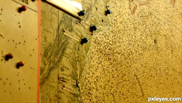
In the Churchill War Rooms in London there is a map of Europe and the Atlantic that at one time housed the pins that marked both the enemy and allied movements in the seas. Britain ran the war from these small underground rooms and this map was their aid to all movement. When the war ended the rooms were abandoned and left just as they were in the 40's. Maintained through various departments, in the 70's public demand to visit the historic site became so great that a museum was created and many of the documents and furnishings were left where they were found, including this map. (5 years and 2942 days ago)


Howdie stranger!
If you want to rate this picture or participate in this contest, just:
LOGIN HERE or REGISTER FOR FREE