Awesome.
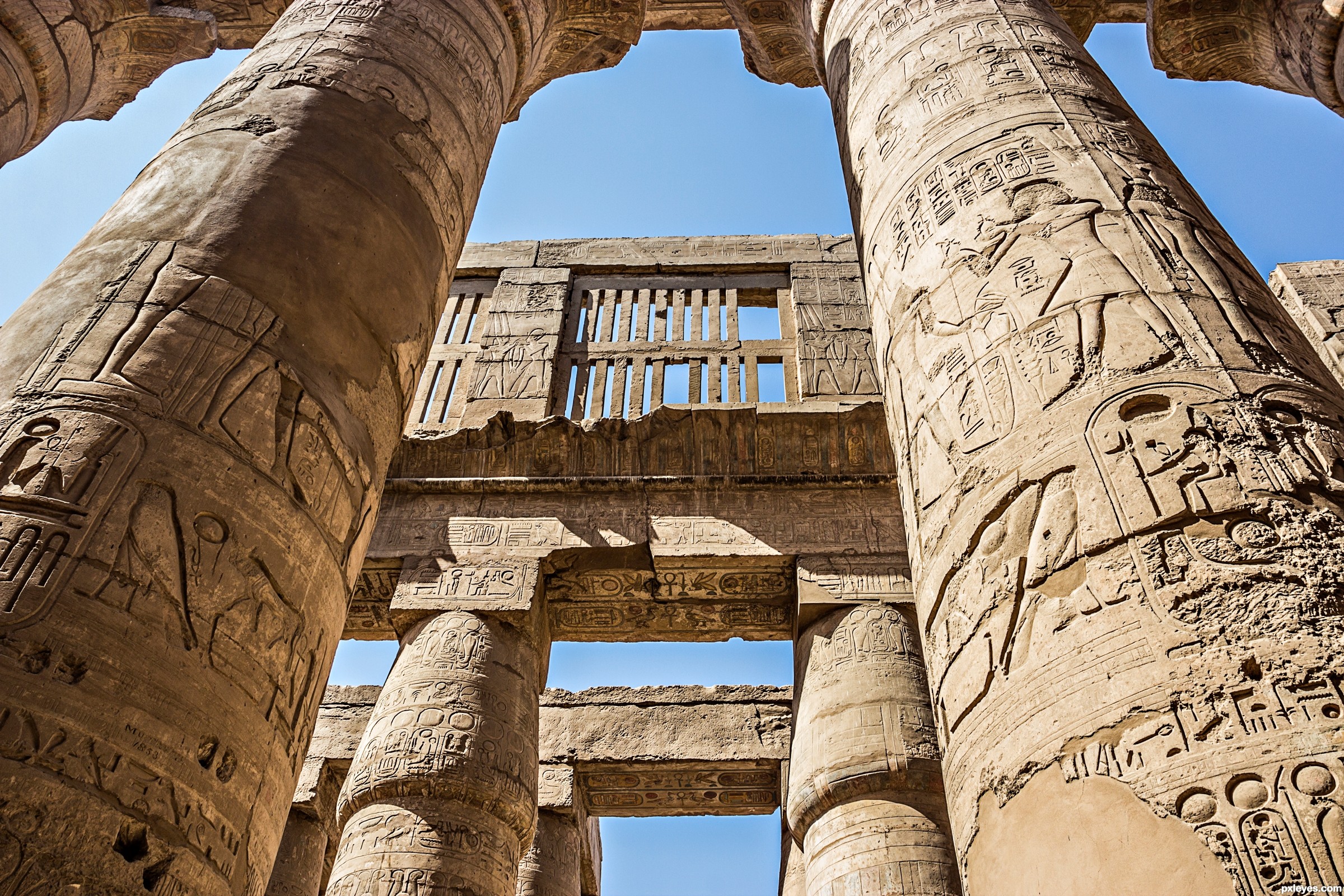
http://en.wikipedia.org/wiki/Karnak (5 years and 2803 days ago)
Latitude 25.718427
Longitude 32.657716 (5 years and 2900 days ago)
The GPS Coordinates point to a street outside the temple. Surely this was taken form inside the temple?
The GPS do point to inside the temple and NOT to the street. I added a screenshot from Google maps in the SBS along with a short history and wiki link, the coordinates are represented by the green arrow and NOT the standard Google maps marker marked 'A' which is on the street.
Thanks for the explanation, I realise the photo was taken inside the temple.I have an almost identical photo, will have to find something else now.
I don't know (or care) about GPS, but I do like the more close-up composition. It contrasts nicely with most of the other entries
omg where do you find these places! Great depth here!
Howdie stranger!
If you want to rate this picture or participate in this contest, just:
LOGIN HERE or REGISTER FOR FREE
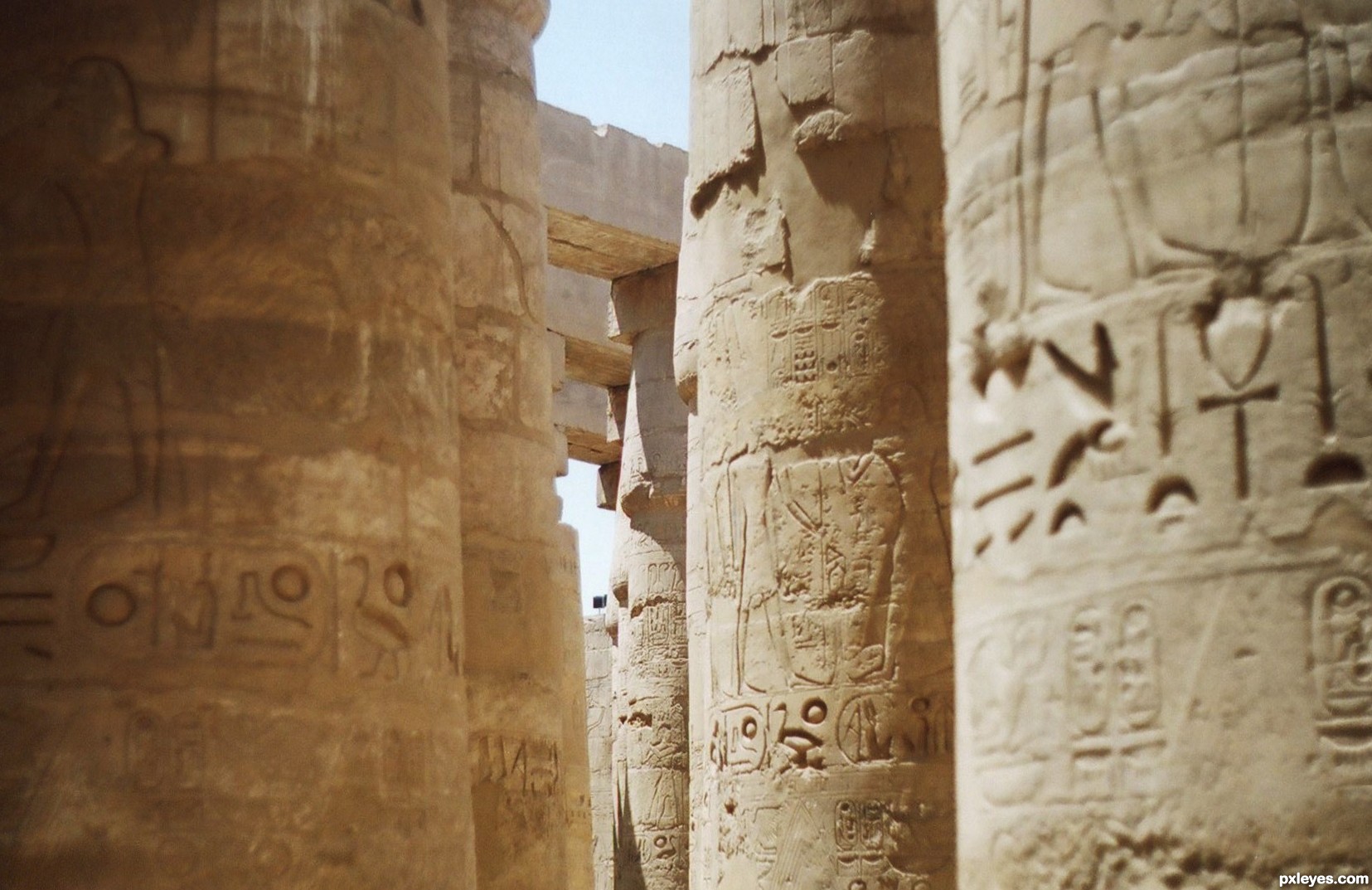
To me the best walls a building can have. Took this photo some years ago when I was in Karnak, Egypt. (5 years and 3508 days ago)
Great shot, well composed!
Howdie stranger!
If you want to rate this picture or participate in this contest, just:
LOGIN HERE or REGISTER FOR FREE
Photography and photoshop contests
We are a community of people with
a passion for photography, graphics and art in general.
Every day new photoshop
and photography contests are posted to compete in. We also have one weekly drawing contest
and one weekly 3D contest!
Participation is 100% free!
Just
register and get
started!
Good luck!
© 2015 Pxleyes.com. All rights reserved.


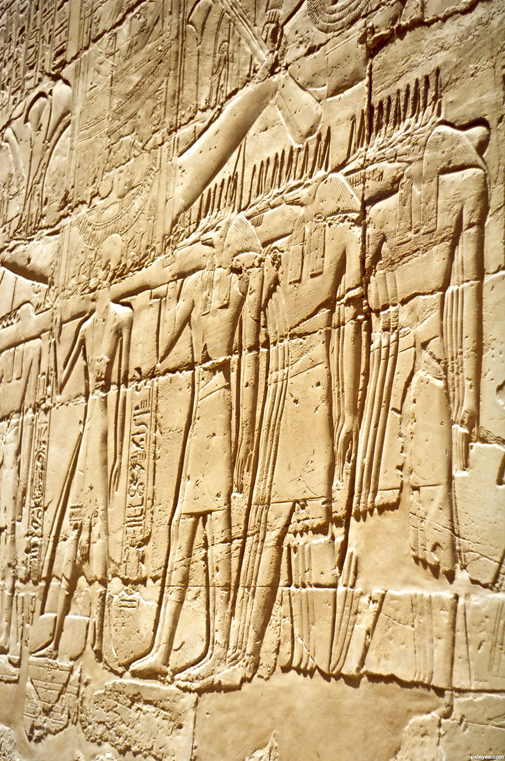
Beautiful composition
super
great perspective
Howdie stranger!
If you want to rate this picture or participate in this contest, just:
LOGIN HERE or REGISTER FOR FREE